Watch how smoke from the Camp Fire filled the Bay Area
 Get the Full StoryGoogle Street View cars mounted with air sensors show how the smoke filtered into the city and how pollution levels can differ drastically over just a few blocks.
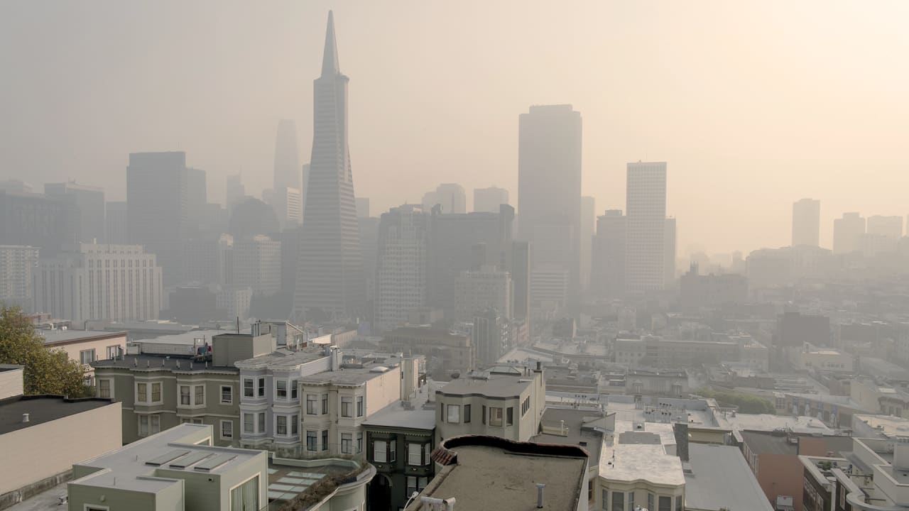
The Camp Fire the deadliest, most destructive wildlife in California history started around 6:30 a.m. on the morning of November 8. By 8 a.m., it reached Paradise. By the afternoon, as the fire raged, the smoke reached cities like San Leandro, nearly 200 miles away. As the air filled with smoke, two Google Street View cars drove around the East Bay, using air quality sensors to map the pollution.Read Full Story
Share: